
News & Insights

Thank you! Your submission has been received!
Oops! Something went wrong while submitting the form.
Hail fog rising over a field covered in hailstones under the dark back edge of a thunderstorm near Imperial, Nebraska, 7 June 2022
Latest News
October 24, 2026

Hail and Severe Wind, Live: Two New DisasterAWARE API Endpoints Built From Warnings, Radar and Ground Reports

Read More
Arrow white right

Previous

Hail fog rising over a field covered in hailstones under the dark back edge of a thunderstorm near Imperial, Nebraska, 7 June 2022
All
October 24, 2026

Hail and Severe Wind, Live: Two New DisasterAWARE API Endpoints Built From Warnings, Radar and Ground Reports

Two new DisasterAWARE V2 API endpoints, /hail and /wind, deliver every active hail and severe wind hazard as one record: the NWS warning and its versions, the radar hail swath by size band, the ground reports, and an evidence-labelled assessment.
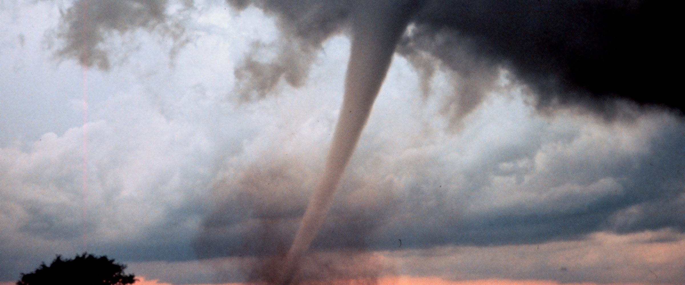
A tornado funnel descends from a storm cloud over open plains at dusk (NOAA National Severe Storms Laboratory photo)
All
October 23, 2026

TornadoAWARE Is Live: A Free Morning Report on Tornado Risk at the Places You Care About

TornadoAWARE is a free email service from DisasterAWARE. Add up to five places and get a morning report on what tornado and severe-weather activity touched them, with the history of what has hit there before. Launched 23 October 2026.
Typhoon Champi east of Taiwan on 23 October 2026, seen by the VIIRS instrument on NOAA-20 (NASA Worldview)
All
October 23, 2026

Ask What Is Happening Right Now: DisasterAWARE's Live Hazards MCP Server

DisasterAWARE's Live Hazards MCP server connects AI assistants to the live hazard feed: about 1,000 active hazards worldwide with official warning text, footprints and exposure. Ask what is happening now, screen your own sites, and see what changed.
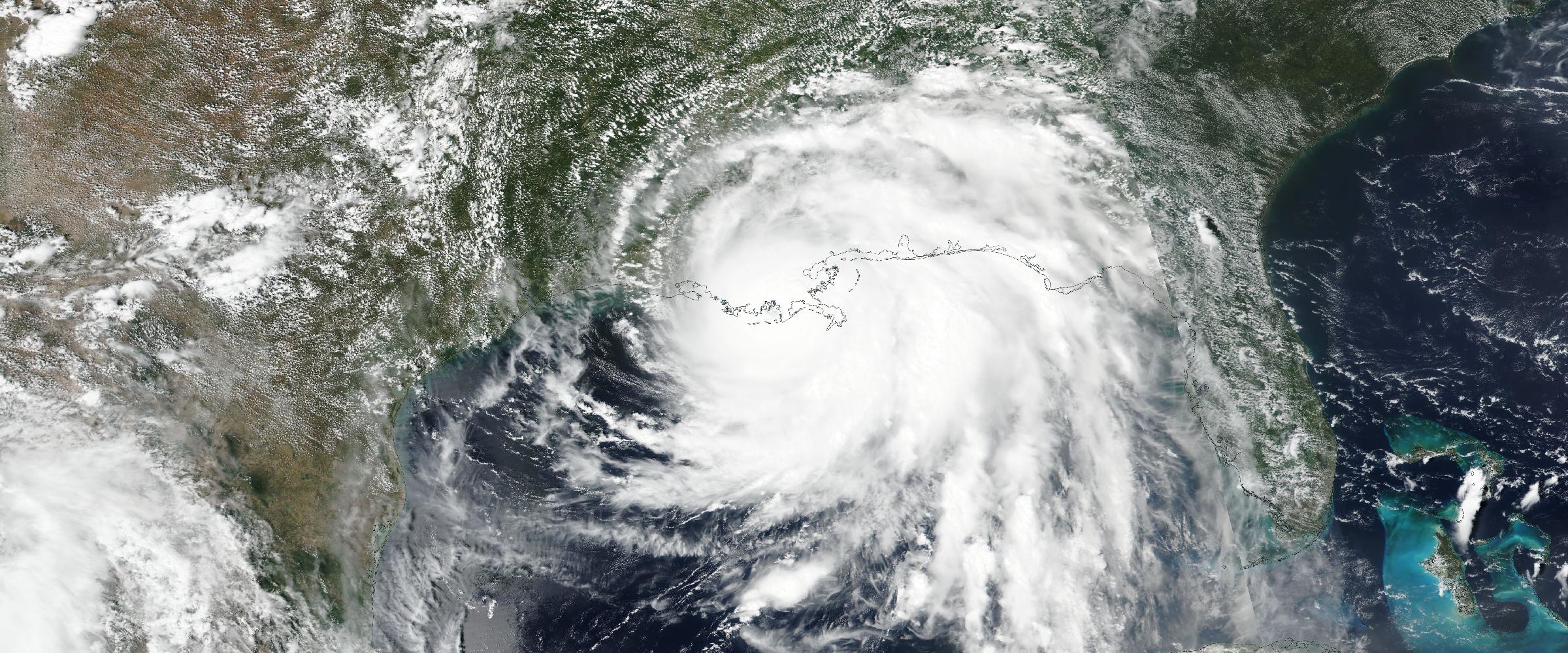
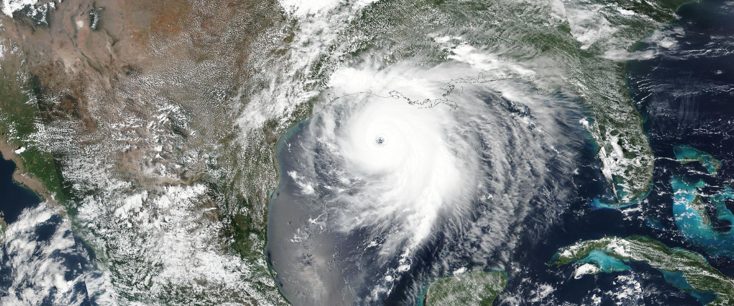
Satellite view of Hurricane Laura in the Gulf of Mexico before its Louisiana landfall, August 26, 2020 (NASA Worldview, VIIRS/Suomi NPP)
All
October 19, 2026

Ask Decades of Hazard History in Plain Language: DisasterAWARE's Historical Hazards MCP Server

DisasterAWARE's Historical Hazards MCP server connects AI assistants to nearly 680,000 hazard records. Ask in plain language and get counts, rankings and the gauge, station or survey behind each number.
Satellite view of wildfire smoke streaming off the Oregon and California coast, September 9, 2020 (NASA Worldview, Terra/MODIS)
All
October 19, 2026

What's Inside DisasterAWARE's Enhanced Historical Hazard Data, Hazard by Hazard

A hazard-by-hazard guide to the enhancements in DisasterAWARE's historical hazard archive: what each record carries, where it comes from, where it applies, and how far back it goes.
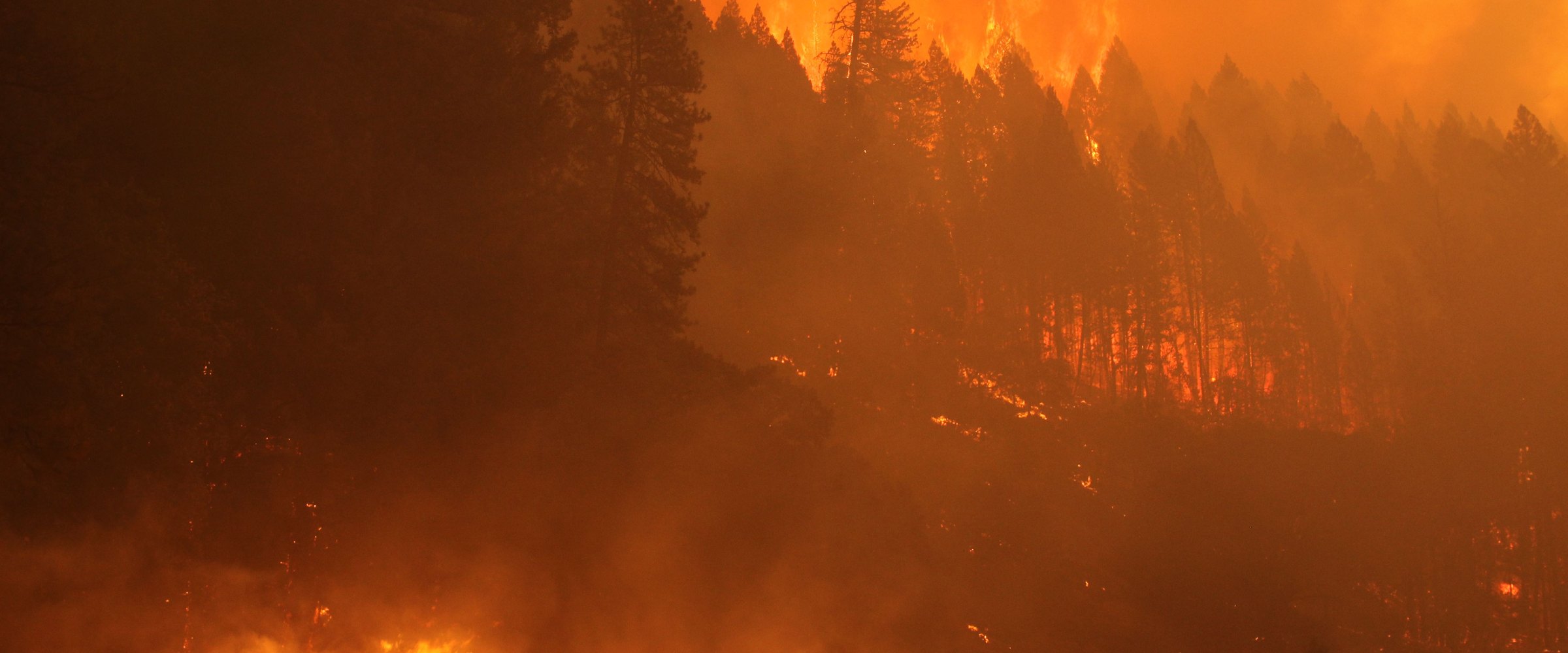
Flames climb through a conifer forest under an orange, smoke-filled sky on the August Complex fire, California's largest recorded wildfire, in September 2020.
All
October 13, 2026

Largest Wildfires in US History by Acres — and the Biggest in Every Western State (Mapped)

Every US wildfire of 500,000+ acres since 1950 in the national records, ranked by final size and mapped: Kateel River, Smokehouse Creek, Dixie, Morrill, Big Grass. Plus each western state's record, the pre-1950 giants, and the deadliest fires.
A park volunteer drinks from a water bottle beside the Furnace Creek Visitor Center thermometer in Death Valley, which reads 124°F.
All
October 13, 2026

Deadliest Heat Waves in US History, Including the 2021 Pacific Northwest Heat Dome

The deadliest heat waves in US history: 1936, 1980, Chicago 1995, the 2021 Pacific Northwest heat dome and Phoenix 2023, with each death toll's basis stated, station records and maps of how far temperatures ran above normal.
An aerial view of a New Orleans neighbourhood flooded to the rooftops the day after Hurricane Katrina in August 2005.
All
October 13, 2026

Worst Hurricanes to Hit Florida, Texas, Louisiana and North Carolina

State by state, the strongest, deadliest and costliest hurricanes on record in Florida, Texas, Louisiana and North Carolina, with every track mapped, peak storm surge since 2017 and how early DisasterAWARE was tracking each recent landfall.
A National Guard Humvee and state police vehicles stop on a snow-choked Buffalo road as snow keeps falling after the November 2014 lake-effect storm.
All
October 13, 2026

Biggest Snowstorms in NYC, Boston, Chicago and Buffalo History: The Top 10 in Each City (Mapped)

The 10 biggest snowstorms in New York City, Boston, Chicago and Buffalo, ranked by storm total at each city's official station, with how storm totals are counted, the 2026 storms that made the lists, snowfall maps and what the storms cost.
A New York City sidewalk on 14th Street buried in snow after a January 1908 storm, with people shovelling and walking past snow-capped railings and a subway kiosk.
All
October 13, 2026

Worst Winter Storms in US History: Blizzards, Ice Storms and Deep Freezes Ranked

The worst winter storms in US history, ranked four ways: costliest (Uri, the 1993 Superstorm, Elliott), every NOAA Category 5 snowstorm since 1900, the worst ice storms and costliest deep freezes. With snowfall maps and Uri's lessons for insurers.
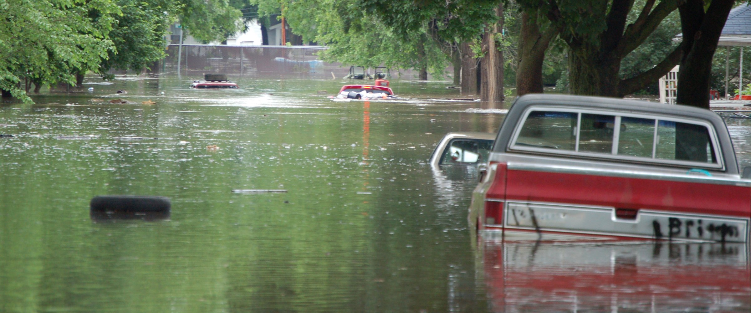
Pickup trucks and cars sit half-submerged in brown floodwater on a tree-lined street in Cedar Rapids, Iowa, during the June 2008 Midwest floods.
All
October 13, 2026

The Worst US Floods of the Last 20 Years, Ranked and Mapped

The worst US floods of the last 20 years, ranked by deaths, flood-insurance payouts, total cost and record river crests: the 2025 Texas Hill Country flood, Harvey, Helene, Sandy, the 2008 Midwest floods and Irene, with a map of 1,047 record gauges.
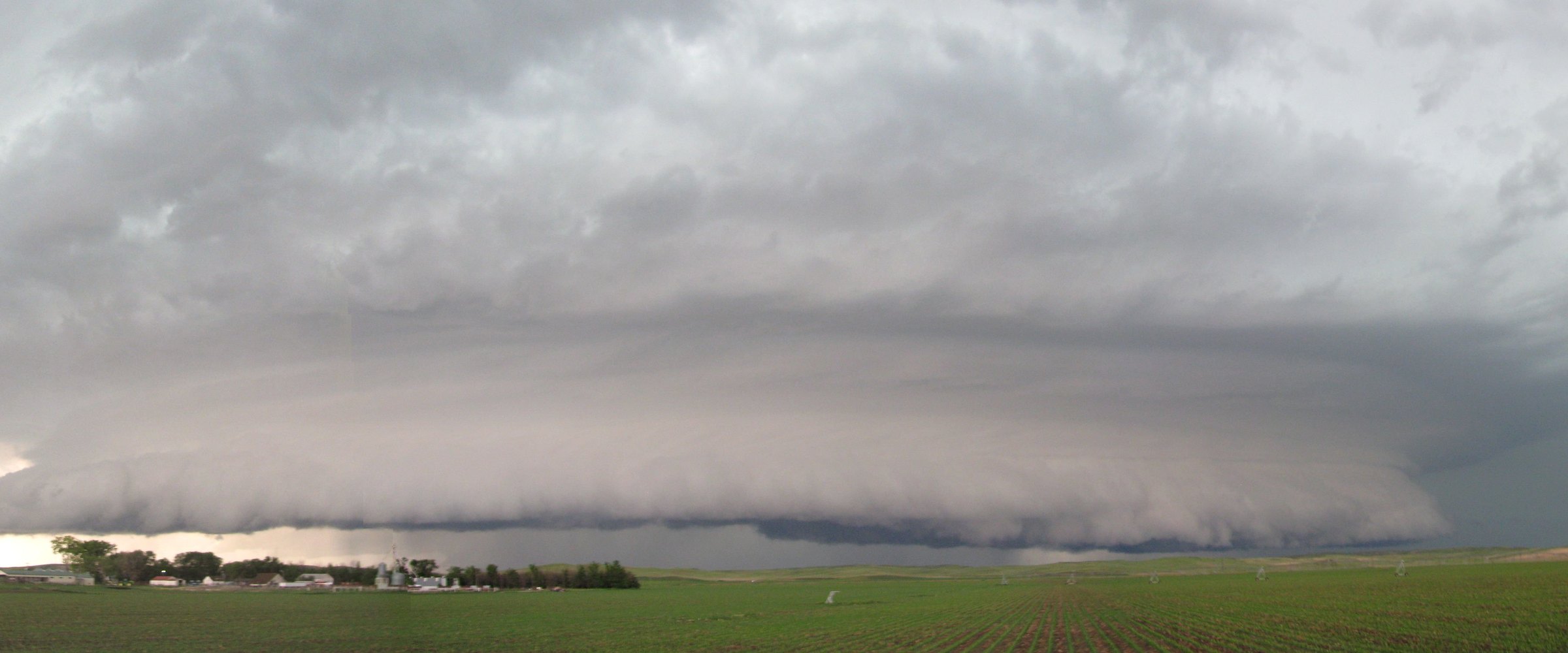
A long, low shelf cloud sweeps across green farmland at the leading edge of a line of severe thunderstorms.
All
October 13, 2026

Worst Derechos in US History: 2020 Iowa, 2012 Mid-Atlantic and More (Mapped)

The worst derechos in US history, ranked three ways: costliest (Iowa 2020, $14.2 billion in 2026 dollars), deadliest (June 2012, 22 killed) and strongest measured gusts. Plus 2026's derechos, with every wind report mapped.
Satellite view of Hurricane Patricia on October 23, 2015: a vast white cloud shield with a tiny pinhole eye off the southwest coast of Mexico, its outer bands already spreading over land.
All
October 13, 2026

The Strongest Tropical Cyclones Ever Recorded: Hurricanes, Typhoons and Cyclones Ranked (Mapped)

The strongest tropical cyclones ever recorded, ranked by 1-minute wind and by central pressure in every basin: Patricia, Tip, Haiyan, Goni, Melissa and more. Mapped tracks, agency differences explained, and why peak intensity is not loss.
A windshield shattered into a crater of cracked glass by a baseball-sized hailstone in Moore, Oklahoma, in May 2010.
All
October 13, 2026

Worst Hail Storms in US History: The Costliest, Ranked and Mapped

The worst hail storms in US history by cost: the 15 costliest billion-dollar hail events since 1980 in 2026 dollars, insured losses of the famous city storms from Fort Worth 1995 to Denver 2017, and radar hail swaths, mapped.
The US record hailstone from Vivian, South Dakota: a lumpy ball of ice nearly 8 inches across lying on a tape measure.
All
October 13, 2026

Largest Hailstones Ever Recorded: The US Record and Every State's Biggest Hail

The largest hailstones ever recorded: the 8-inch Vivian, SD national record, every state's official record (and which states have none), the 2026 Illinois and Texas records, and a map of radar estimates against the real stones.
Drum seismographs at the US Geological Survey in Menlo Park recording the shaking of the 1989 Loma Prieta earthquake on three components.
All
October 13, 2026

Biggest Earthquakes of 2026 So Far: The Largest, the Deadliest and the US List (Mapped)

The biggest earthquakes of 2026 so far, ranked by USGS magnitude: two M7.8s off Mindanao and Flores lead. Plus every deadly quake of the year, the largest in the US, ShakeMap intensity maps, and what DisasterAWARE recorded for each one.
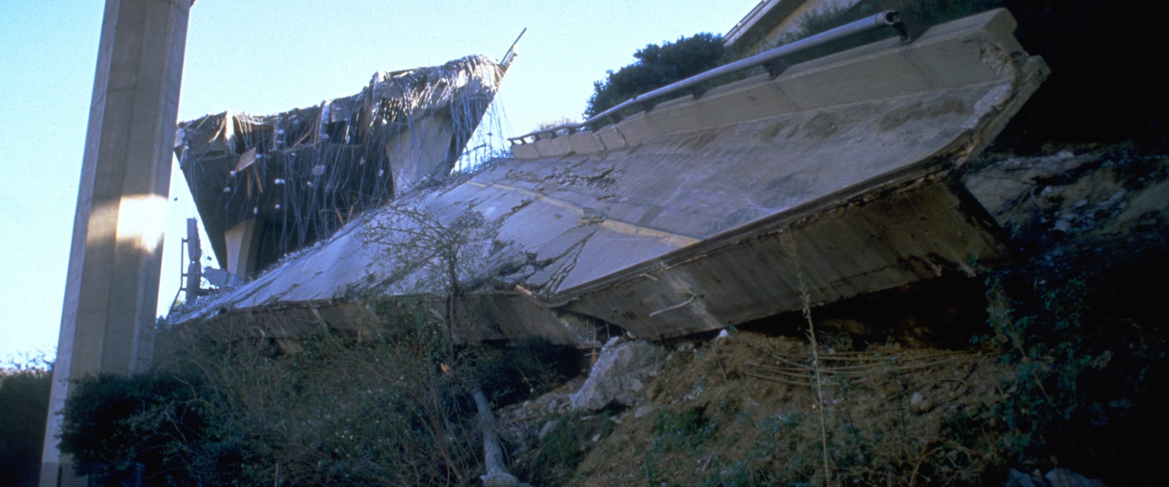
A collapsed freeway interchange span lies broken on the ground beside a standing column after the 1994 Northridge earthquake.
All
October 13, 2026

Largest Earthquakes in US History — and the Biggest in Every State (Mapped)

The largest earthquakes in US history from the USGS catalog: the top 10 (mostly Alaska), the biggest outside Alaska, California's top 10, the largest in all 50 states, ShakeMap shaking maps, and what the losses taught insurers.
A USAID search-and-rescue specialist and search dog work across the rubble of a collapsed building in Bhaktapur, Nepal, after the 2015 earthquake.
All
October 13, 2026

The Deadliest Earthquakes of the 21st Century: Every Quake That Killed 1,000 or More (Mapped)

Every earthquake since 2001 that killed 1,000 or more, ranked by NOAA NCEI deaths with USGS figures alongside: Haiti 2010, Sumatra 2004, Sichuan, Kashmir, Türkiye–Syria, Venezuela 2026. Disputed tolls explained and shaking mapped.
A fishing boat that Hurricane Camille's storm surge drove ashore lies against a house beneath a broken oak in Biloxi, Mississippi, in 1969.
All
October 13, 2026

Strongest Hurricanes to Hit the US: Every Category 5 Landfall (Mapped)

Every Category 5 hurricane landfall in the United States, the most intense US landfalls ranked by central pressure, Puerto Rico and the Pacific territories, and why the costliest hurricanes were mostly not Category 5s.
NASA VIIRS true-color satellite image of Hurricane Ida making landfall in southeastern Louisiana on August 29, 2021
All
September 22, 2026

Why Event-Level Intelligence Matters for Catastrophe Reinsurance

A regional risk designation can't tell a reinsurer what happened during a specific catastrophe. Why structured, event-level intelligence matters for accumulation analysis, loss estimates and the observed event record.
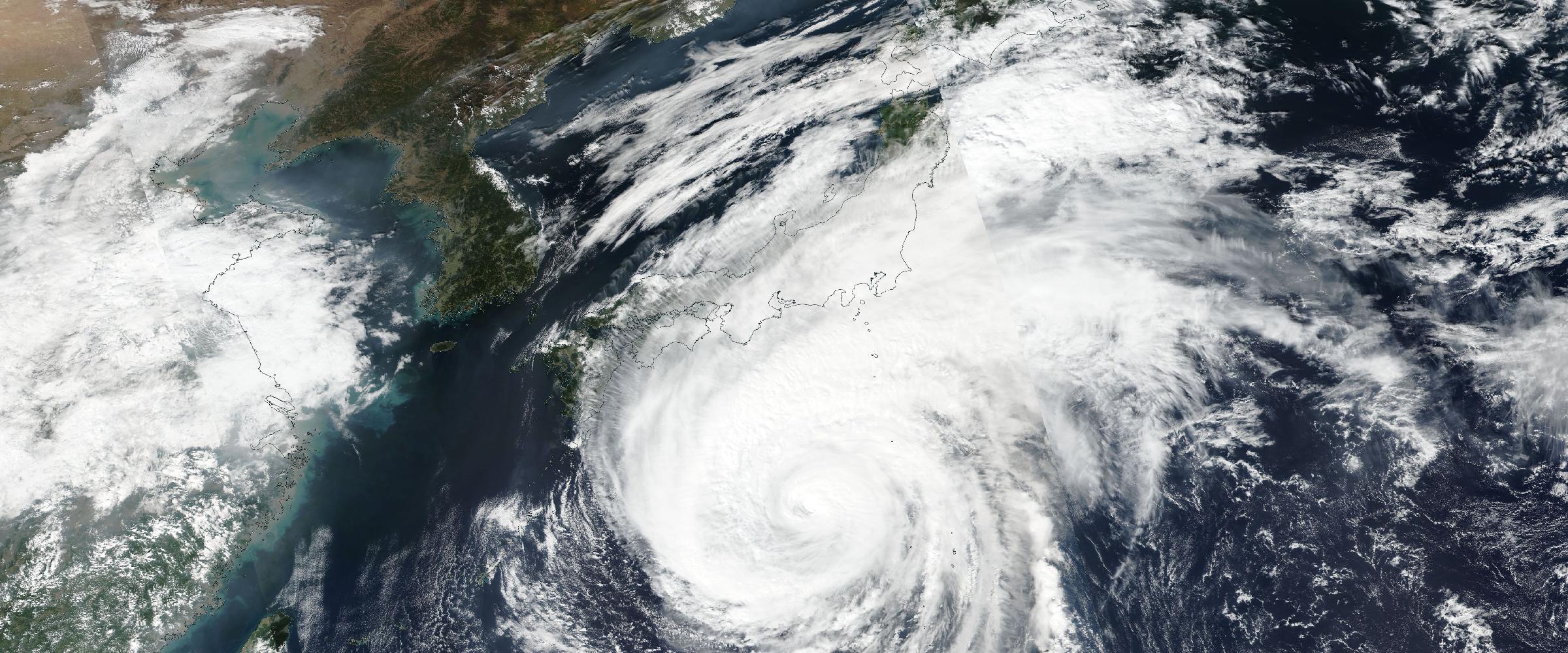
NASA VIIRS true-color satellite image of Typhoon Hagibis approaching Japan on October 11, 2019, a day before landfall on Honshu
All
September 21, 2026

How Real-Time Event Intelligence Supports Reinsurance Operations

When a major catastrophe strikes, reinsurers need to connect the event to exposures, portfolios and programs quickly. Seven ways real-time event intelligence supports reinsurance operations alongside catastrophe models.
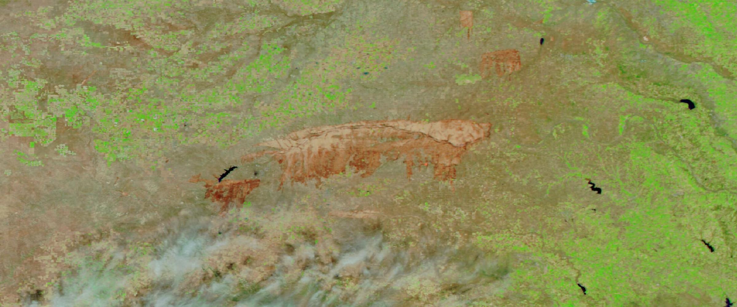
NASA VIIRS false-color satellite image of the Smokehouse Creek Fire burn scar across the Texas Panhandle on March 2, 2024, the largest wildfire in Texas history
All
September 20, 2026

Using Hazard Footprints to Understand Reinsurance Exposure

For reinsurers, understanding a catastrophe starts with where the hazard actually occurred. What hazard footprints are, how they connect events to exposure, and how they reveal accumulations across cedents and portfolios.
NASA VIIRS true-color satellite image of Hurricane Laura over the Gulf of Mexico on August 26, 2020, hours before landfall in southwest Louisiana
All
September 19, 2026

How Insurers Use Real-Time Catastrophe Intelligence During Nat Cat Events

An insurer's information needs change fast once a natural catastrophe begins. Ten stages, from establishing the threat to claims triage and impact assessment, and how real-time catastrophe intelligence supports each one.
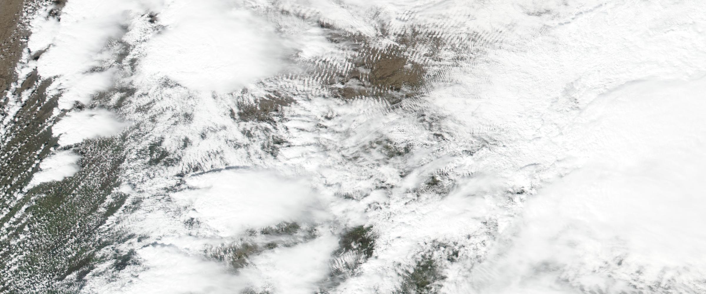
NASA VIIRS true-color satellite image of severe convective storms over the Midwest on 31 March 2023.
All
September 18, 2026

Historical Tornado Data: What Tornado Tracks Can Tell Insurers About Portfolio Risk

Tornado counts by county tell you one thing; actual tornado tracks tell you another. How historical track data supports underwriting research, repeated-exposure analysis and portfolio accumulation work — and what it cannot predict.

Understand What's Happening. Know What It Means. Decide What To Do Next.

DisasterAWARE transforms real-world events into operational intelligence for enterprises, governments, insurers, and technology platforms.