DisasterAWARE is a cutting-edge, all-hazards early warning and risk evaluation platform developed in partnership with the U.S. Department of Defense and international disaster relief organizations. Now available as DisasterAWARE Enterprise, it empowers companies to leverage the same proven technologies to enhance disaster preparedness and response. With tools to monitor hazards, protect assets, and evaluate risks, the platform helps organizations safeguard operations in an increasingly uncertain world.
Organizations of all sizes, across all industries, can benefit from the advanced intelligence DisasterAWARE provides. Our risk and impact intelligence is currently used by thousands of government, humanitarian, and corporate customers around the globe to quickly and accurately predict risk and impact and make critical decisions.

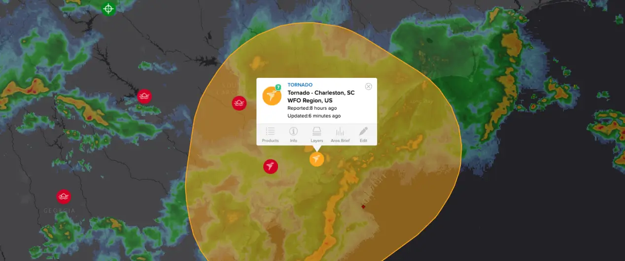
DisasterAWARE Enterprise provides over 500 additional data overlays in its geospatial application, supporting both disaster preparedness and response. These overlays cover a wide range of thematic areas, including observational data, critical infrastructure, hazard zones, regional risk evaluations, historical events, and predictive models for both near- and long-term scenarios. Artificial intelligence curates news articles from over 80,000 global media publishers, offering valuable perspectives on unfolding events. Additionally, users can access over 50,000 Department of Transportation cameras across North America and Europe, providing real-time images and streaming videos for enhanced situational awareness. Together, this wealth of supplemental information ensures a comprehensive understanding of risks and impacts.


SmartAlert™ is built on decades of disaster response expertise and applied science research, delivering precise, hazard-specific notifications. Our methodology defines a notification area for each hazard that extends beyond the immediate impact zone, providing early warnings not only to those currently affected but also to those in the predicted path or nearby areas potentially impacted. Users receive alerts only if one of their areas of interest intersects with the hazard’s notification area and if the hazard’s type and severity align with their personalized notification preferences. This ensures that SmartAlert™ delivers timely, relevant, and actionable information when it matters most.
DisasterAWARE’s Asset Protection feature makes it simple to add both fixed-location and mobile assets to the platform. Once uploaded, each asset is geofenced, enabling automatic alerts when any are threatened by a hazard. This proactive capability ensures customers are informed of potential risks in real time. Additionally, while analyzing a hazard, customers can easily visualize their assets’ locations in relation to the event and assess the current and potential threats as the hazard evolves. This empowers organizations to make informed decisions and take timely actions to protect their people, operations, and resources.
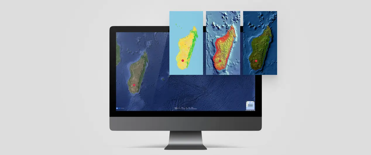
DisasterAWARE is designed for compatibility with a wide range of geospatial data formats, making it easy for customers to integrate their own data into the platform. Users can view their data alongside the extensive information already available within the system, creating a comprehensive and unified view. The platform supports global geospatial standards such as WMS, WMTS, WFS, and popular proprietary formats like Esri’s ArcGIS and Google Earth’s KML. Additionally, formats like GeoJSON and WKT are fully supported, ensuring flexibility and ease of use for customers across industries.
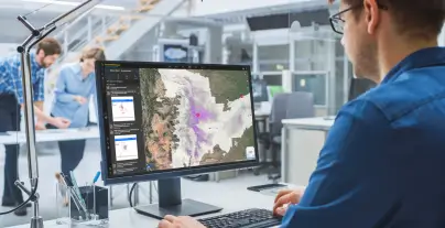
DisasterAWARE’s web-based solution ensures accessibility across all major operating systems and screen sizes. All you need is a modern web browser—Chrome, Safari, Firefox, or Edge—to access the platform. With a responsive design, DisasterAWARE seamlessly adapts to desktop, tablet, or phone, providing a consistent and user-friendly experience. Whether you’re displaying a common operating picture on large screens in a security operations center or enabling analysts on the go, DisasterAWARE delivers the flexibility and functionality needed to stay informed and make critical decisions anywhere.